


Detection, modeling, automation
The pillars of our innovation
La donnée LiDAR & Drone : Nous perfectionnons en continu nos méthodes de captation par drone LiDAR et photogrammétrie pour obtenir des jumeaux numériques d'une précision inégalée.
La vision par Satellite : Nous intégrons la donnée satellite à nos analyses pour contextualiser les relevés locaux à grande échelle, une étape essentielle pour de nombreuses applications environnementales.
L'automatisation par l'IA : Nous développons des algorithmes d'intelligence artificielle pour automatiser le traitement de ces données complexes, réduisant les délais et augmentant la fiabilité des résultats.
.avif)
.avif)
Automating analysis with artificial intelligence
We develop algorithms capable of automatically interpreting field data. The aim is to reduce processing time, cut down on manual intervention and deliver accurate, reproducible, directly usable results.
From research to operational use

Thermal anomaly detection
We are developing algorithms capable of exploiting thermal images captured by drone to automatically detect hot spots, energy losses or anomalies on installations. This technology facilitates predictive maintenance and incident prevention, by rapidly identifying areas at risk without direct human intervention.
FH visibility simulation
Our platform integrates advanced models to simulate high-frequency lines of sight, essential for the dimensioning of telecommunication networks. These simulations enable us to optimize antenna layout, taking into account natural and artificial obstacles, to guarantee optimum coverage.
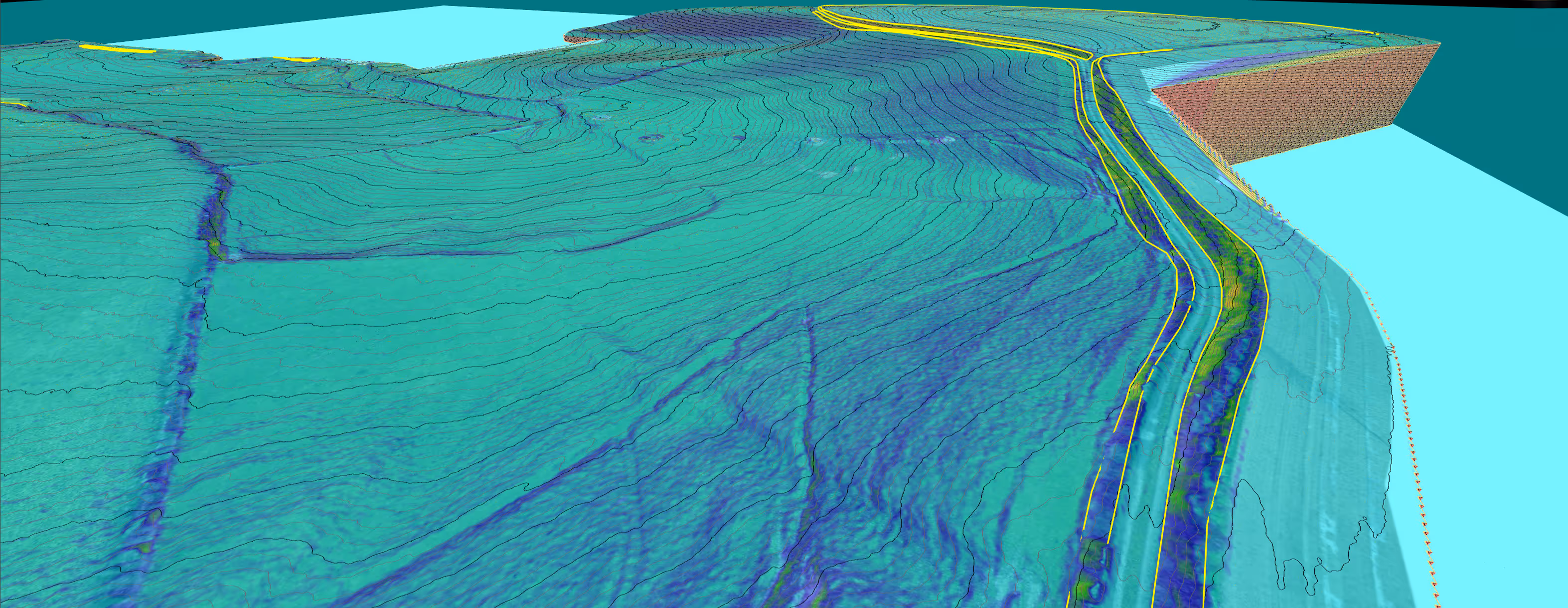
Automated slope mapping
Drone data processing is fully automated, from capture to the generation of precise, georeferenced maps. This automation significantly reduces delivery times, while ensuring consistent quality, essential for topographic or environmental studies.
Follow-up of worksites or developments
Thanks to frequent readings and visual and metric analysis tools, we offer a complete solution for job tracking. Our tools make it easy to compare progress data, identify deviations from schedule, and improve coordination between field and office teams.